


South End Trail
Distance - 1.7 mi.
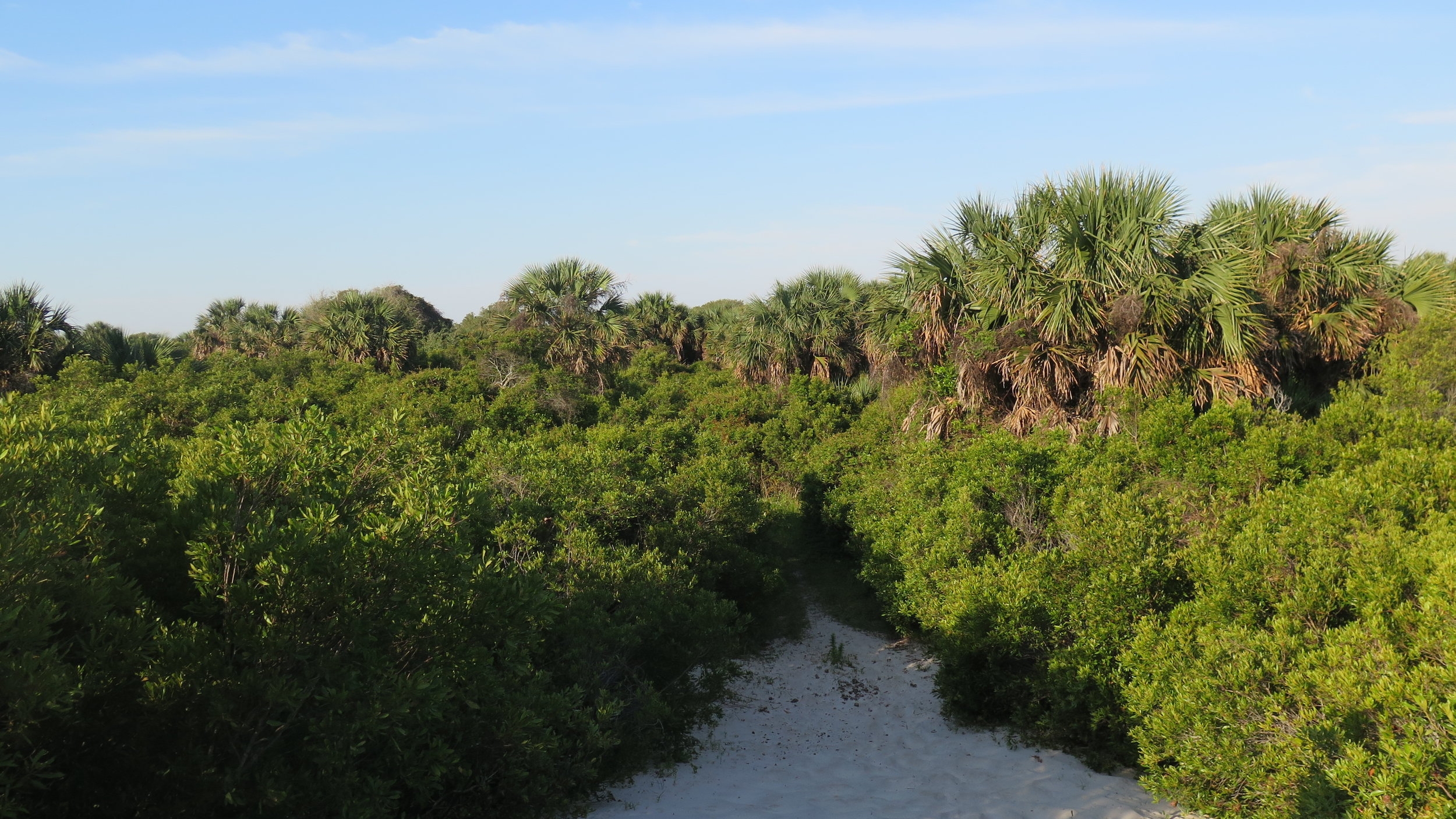
South End Trail is a beautiful trail located on the Cumberland’s southernmost tip. Following Dungeness Trail to the beach, turn right and walk 1.5 miles to the trailhead. Look for a black and white marker where the two-track trail originates. Begin by walking through the dunes as you get a rare glimpse of the beach from a slight elevation. This trail through the dune ecosystem is unusual as it doesn’t descend into maritime forest but instead winds through an ecosystem with more low-growing plants. The trail opens up and transitions from sandy to marshy. Be prepared to get your feet muddy as South End Trail can get fairly wet after it rains. Hikers can see all the way to Amelia Island and enjoy a stunning view of Fort Clinch and the St. Marys River separating Georgia and Florida. Follow the trail through the grassy lowlands past several freshwater ponds. The trail winds alongside the waterfront, an excellent place for bird-watching or spotting dolphins.